
Matthew turned out to be the most powerful storm to hit Haiti for a generation; but it left Port-au-Prince relatively unscathed. The communities of Haiti’s south-western peninsula weren’t so lucky. While people in Florida were preparing for the worst by boarding up their premises and making plans to retreat to hurricane shelters, the residents of Les Cayes and Jérémie had little choice but to brace themselves for the onslaught, and hope for the best. Matthew crashed through their lives, left them homeless, destroyed their crops and killed their livestock.
In Port-au-Prince, the airport was closed as a precaution. With our aircraft safely tucked away in the hangar, we were left to watch helplessly from the fringes. Matthew drenched us with torrential rain but only ruffled the leaves in our garden, leaving the trees firmly rooted. It took another day after the storm had passed for the airport to open, and still there was little for us to do.

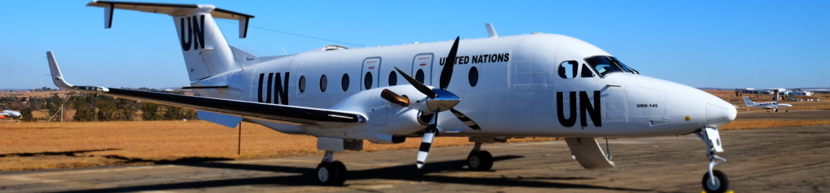
Because we were new to the UN mission in Haiti, we were required to do a familiarisation flight. So while a US Navy aircraft carrier steamed into the bay and disgorged relief supplies from a steady stream of helicopters, we went on a flight to Cap Haïtien in the north and Santo Domingo in the Dominican Republic. It was an unusually clear day. The hurricane had mopped up all the atmospheric detritus revealing that the province to the north, Artibonite, was relatively unscathed. And, although there was some flooding around Cap Haïtien, it also seemed to have escaped the worst.
It was only the following day that Nicky and I finally joined the response effort. We still couldn’t land anywhere in the hardest-hit south-west, as the only runways that were long enough for us to use were waterlogged and had been inundated with helicopters from the UN, the US Coast Guard and Navy and a myriad of other agencies.
We were tasked to fly a Civil Defence team to the north and, from there, along the coast back to Port-au-Prince to assess the coastal damage from the hurricane. A flight like that is a dream come true for most pilots. With much of our time normally spent trying to keep the blue side up while not spilling the passenger’s gin and tonics, this was an opportunity to fly low over the sea while hugging the coastline and exploring all the coves and inlets.
Once airborne out of Port-au-Prince, we climbed to nine thousand feet to clear the mountains of the interior on our way to Fort Liberté on Haiti’s north-eastern corner. When we were over the ridge, we started a shallow descent past the imposing Citadelle Laferrière, which squats on top of a tall peak, with a commanding view of the northern shore. The castle was built shortly after the slave rebellion of 1804. The new ruler Henri Christophe built the citadel, which looks more like a Crusader fortress than a Caribbean stronghold.
We left the castle behind and circled the floodplains to the northeast of Cap Haïtien, before following the coast westwards.

We rounded the peninsula to Labadee, a resort leased by Royal Caribbean Cruises. It is yet another curiosity, totally removed from the reality of Haiti, where cruise ship passengers are disgorged onto palm-fringed beaches where they play in the surf without a thought of what lies beyond.


After Labadee, we changed course for Île de la Tortue (Tortuga), a turtle-shaped island off Haiti’s north coast that was once a major centre of Caribbean piracy in the 17th century. Not much has changed. We were told that the island is still a no-go area for the authorities, as it is now the centre of the Caribbean drug trade. It looked peaceful enough, with a small settlement on the southern shore and sailing boats gliding though the turquoise shallows.
With no hurricane damage in sight, we skipped back across the Canal de la Tortue to Port de Paix and continued along the coast, before slipping inland towards Bombardopolous, which belied its grandiose name.

When we reached the coast again, we followed it south past Gonaïves to mangrove lagoons speckled with flocks of pink and brown flamingos that splashed into the air as we passed overhead. Just beyond the mangroves, the small town of

Grande Saline lies at the mouth of the Artibonite River. Its salt pans were flooded and much of the town seemed partially submerged. It was the only significant hurricane damage that we observed during the flight.
Time and fuel were getting short, so we made a quick detour across the bay to Île de Gonâve, the largely barren island that dominates Haiti’s bight. We found little damage and turned back to Port-au-Prince for a long final approach to the easterly runway.
After two hours of virtual silence, the airwaves filled with chatter from all the helicopters ferrying supplies out to Jérémie and Les Cayes.
It was an amazing flight, but we couldn’t help feeling somewhat inadequate. We were longing to join in with the relief efforts in the south.